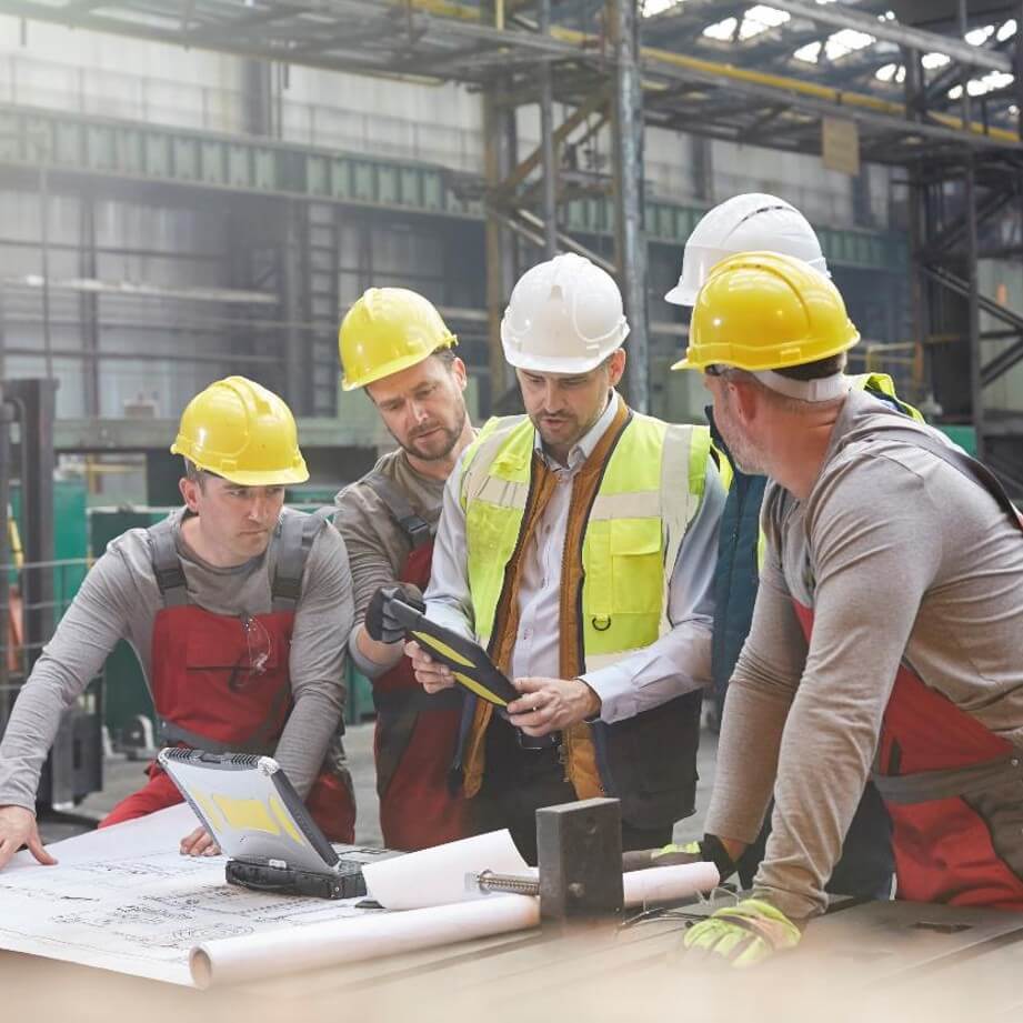
Ardurra's professional land surveyors, field crews, and technicians bring the experience and technical expertise needed to deliver innovative solutions tailored to each client's unique requirements.
We understand that quality surveying is the foundation of successful design. Whether establishing boundary lines, collecting topographic data, or staking construction improvements, we're committed to delivering accuracy and timeliness on every project. Ardurra combines cutting-edge technology with proven survey practices to provide the strongest foundation for your work.
Our field teams leverage advanced tools—including GPS, robotic total stations, aerial lidar, drone imagery, and digital levels—to capture data with precision and efficiency. Our CAD technicians and licensed professionals then transform this data into clear, accurate deliverables: boundary surveys, topographic maps, 3D models, sketches, legal descriptions, and more. Whether working with private developers or public agencies, on projects large or small, we're dedicated to being a partner who consistently exceeds expectations.
Capabilities
-
Boundary & Topographic Survey
-
Platting & Developer Survey Services
-
Construction Layout & As-Built
-
ALTA / NSPS Surveys
-
3D Laser Scanning and Modeling
-
Wetland Surveys
-
Aerial LiDAR Mapping
-
Hydrographic Survey
-
Mean High Water Line Surveys
-
Survey Forensics
-
Aerial Imagery & 3D Modeling
-
UAV Imaging
Related News & Insights
Earning It Every Day: Edgar Segovia on Work, Water, & Where He Belongs
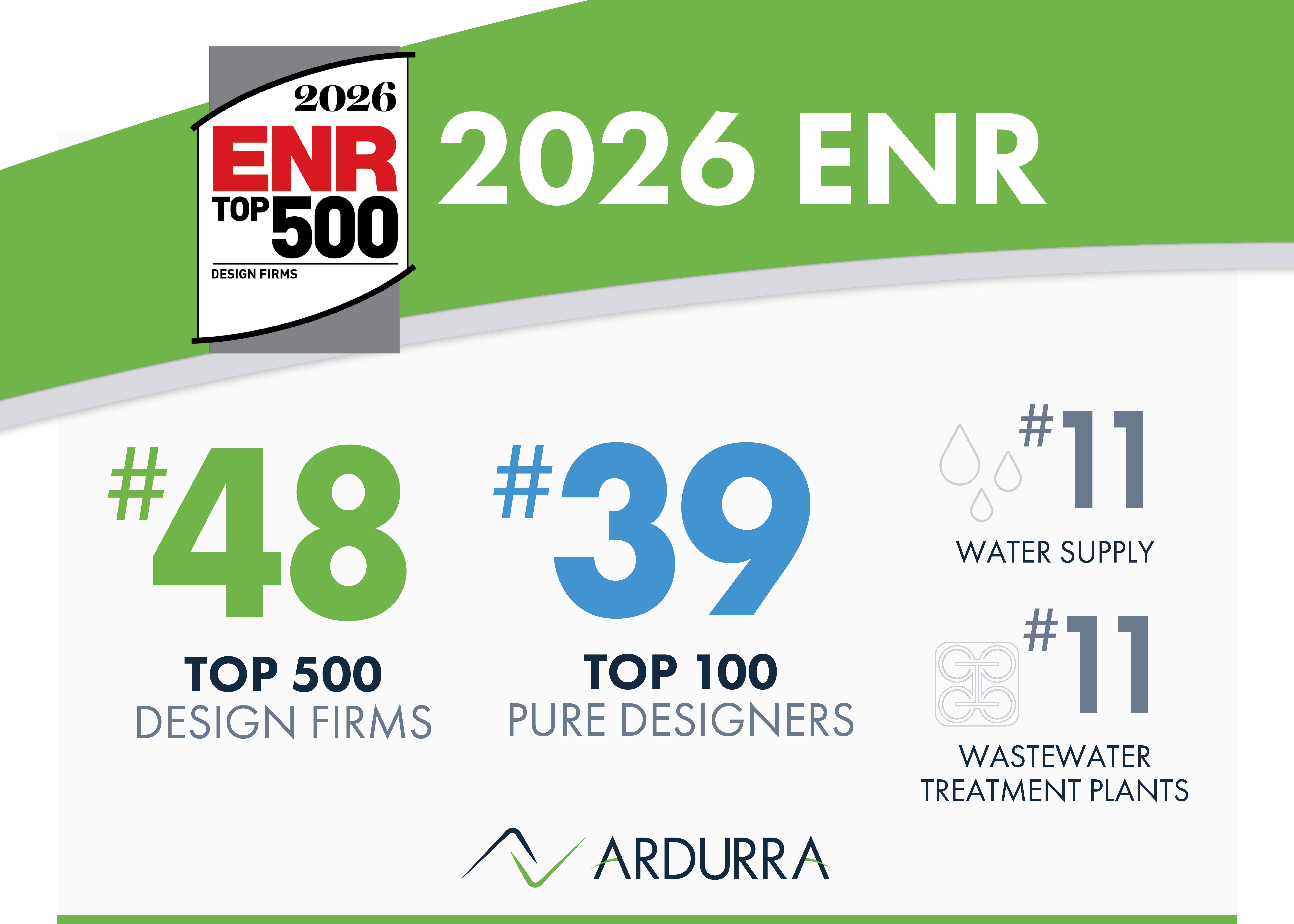
Ardurra Advances to #48 in ENR's 2026 Top 500 Design Firms Rankings